Búsquedas de tendencia
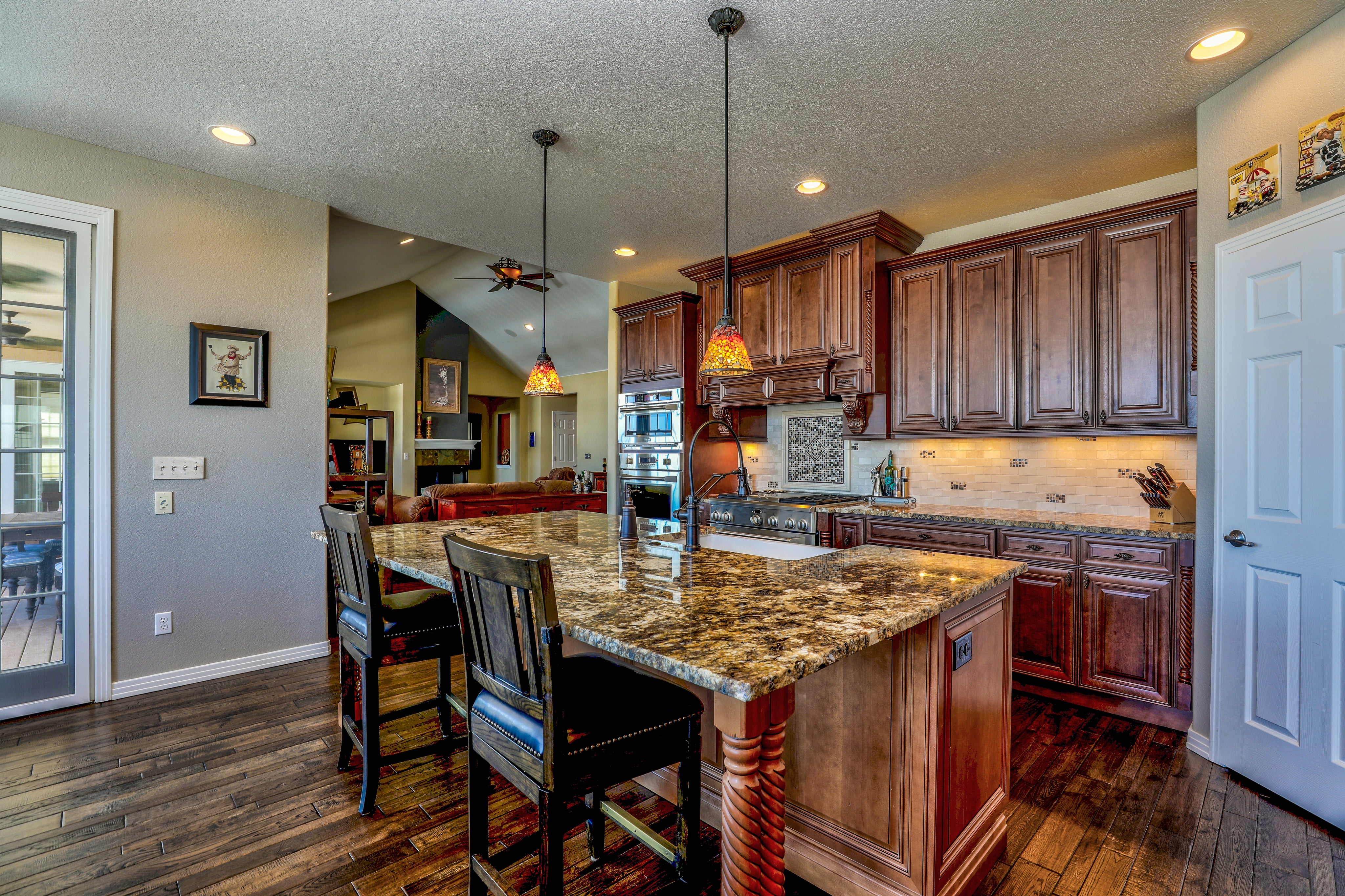
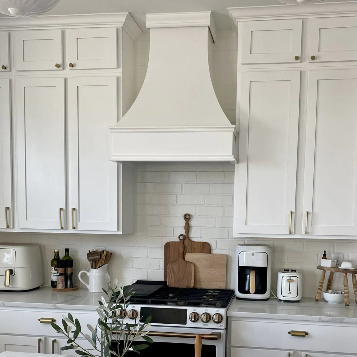
Hogar
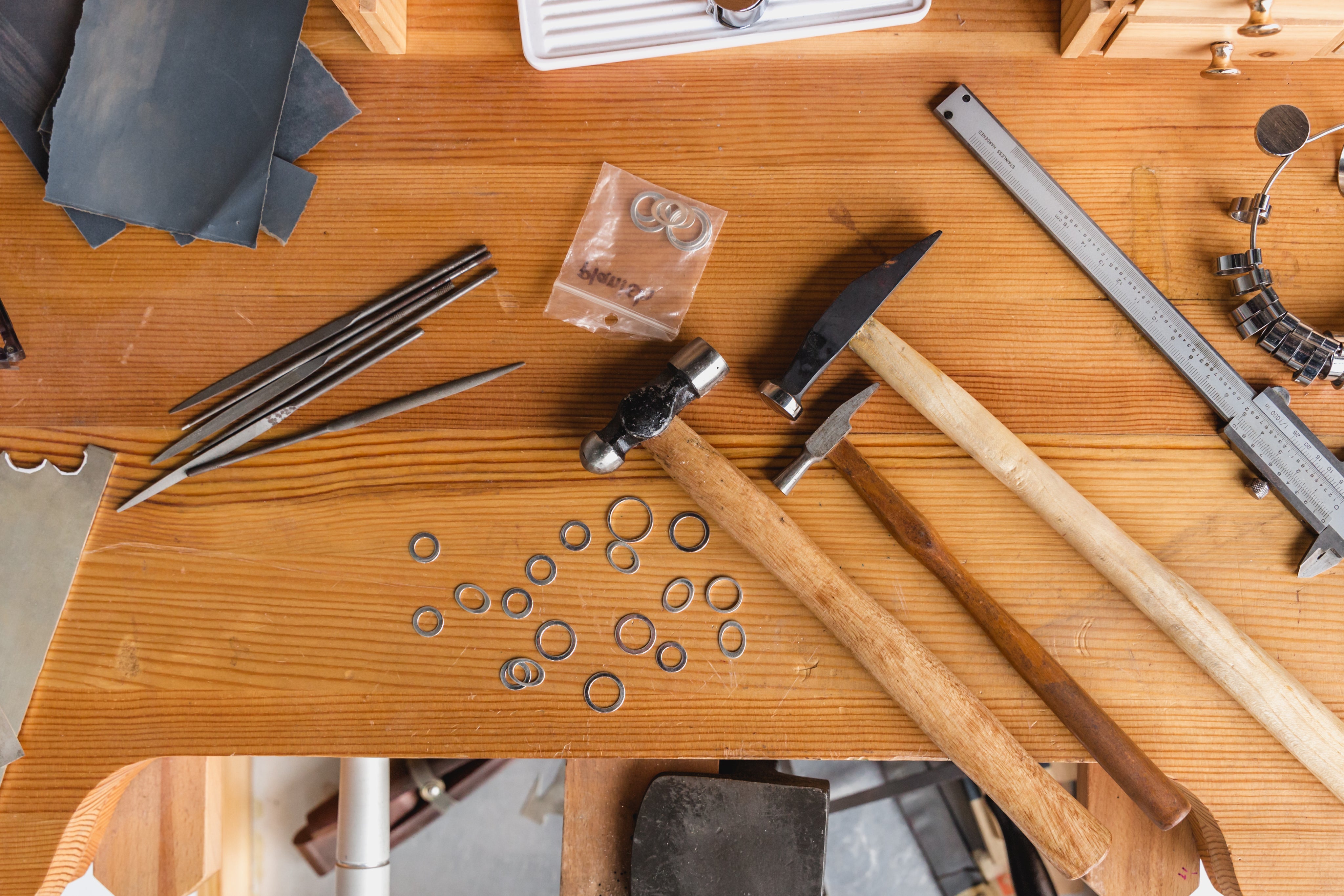
Suministros de instalación
Herramientas de medición y marcado
Piezas de repuesto y accesorios
Placas de pared y más
Cuidado de la madera de Woca Dinamarca
Epoxi y más
Productos de decoración del hogar
Pulseras y otros accesorios
Sistemas de cine al aire libre
Equipos de lavado a presión y lavado suave
Cámaras y accesorios
Purificadores de aire y calentadores de agua
Salud y belleza
Noticias del blog
Tools & Home Improvement
Fishing Supplies
Safety Products
Drywall & Plastering Tools